Park & Trail Map
Maryland DNR publishes one official map of Sandy Point State Park. It shows the entrance and contact station, South Beach and East Beach, the marina with its 22 boat ramps, the small craft launch, the picnic areas and pavilions, and the two short trails, the Symbi Trail and Blue Crab Trail, each about 0.7 miles. DNR notes that the map is not to scale and that pavilion locations are approximate.
The Map at a Glance
Get the Official Map
The map is posted on the Maryland DNR Sandy Point page under "Map & Directions" (dnr.maryland.gov/publiclands). Save it to your phone before you go.
What the Map Shows
DNR lists these features on the map: a ball field, bathhouses, the boat launch, boat rental, the contact station, fishing areas, food and drink, a hiking trail, the marina, the park office, parking, picnic areas, playgrounds, restrooms, shelters, swimming areas, windsurfing, the beach and a jetty.
How the Park Is Laid Out
Think of one main road from the entrance to South Beach, with three turnoffs:
- First right after the contact station: the marina lot and the 22 ramps in Mezick Pond. Boat ramps.
- First left after the contact station: East Beach and its twelve pavilions (renters only). Pavilions.
- First left after the white Mansion: the small craft launch for kayaks and windsurfers. Kayaking.
- End of the road: South Beach, the lifeguarded swimming area, bathhouse and concession. The beach.
Park headquarters is the first building on the left at the entrance intersection.
Trails on the Map
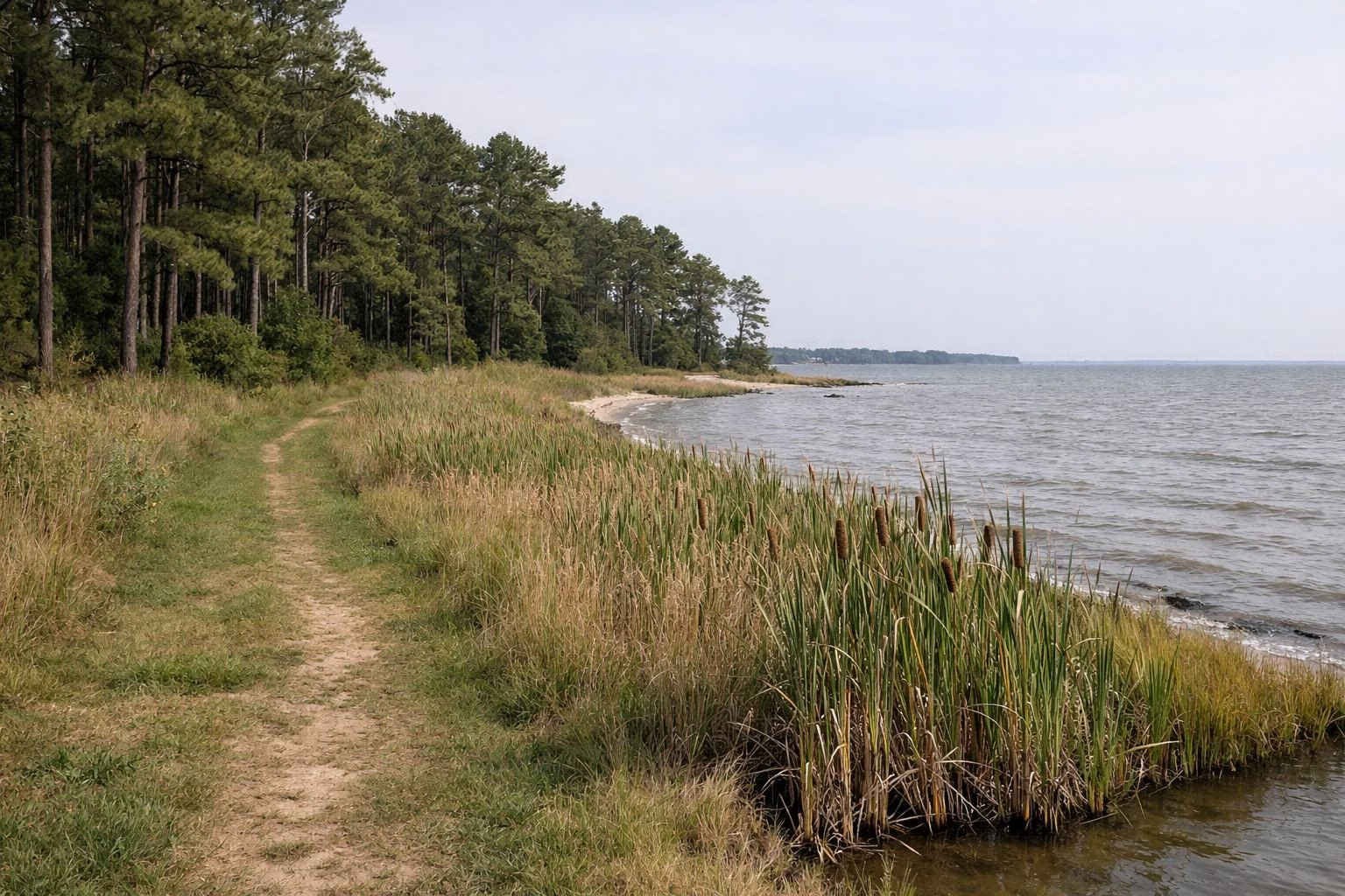
- Symbi Trail, about 0.7 miles, behind the Tollgate picnic area near the entrance: planted pines and marsh.
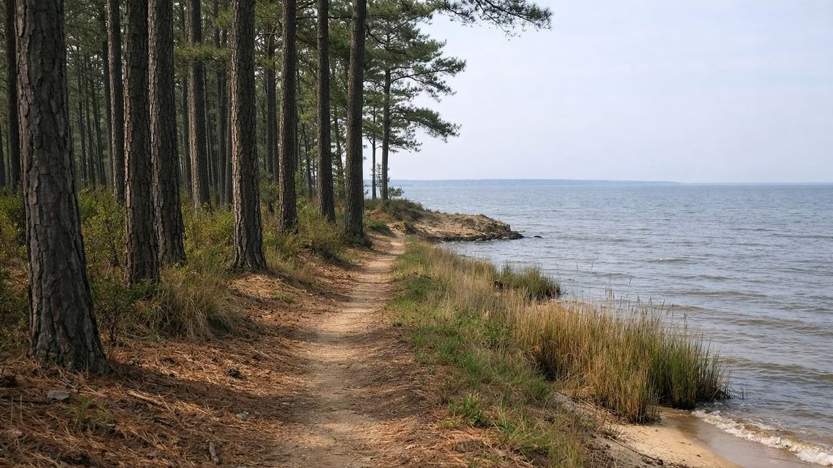
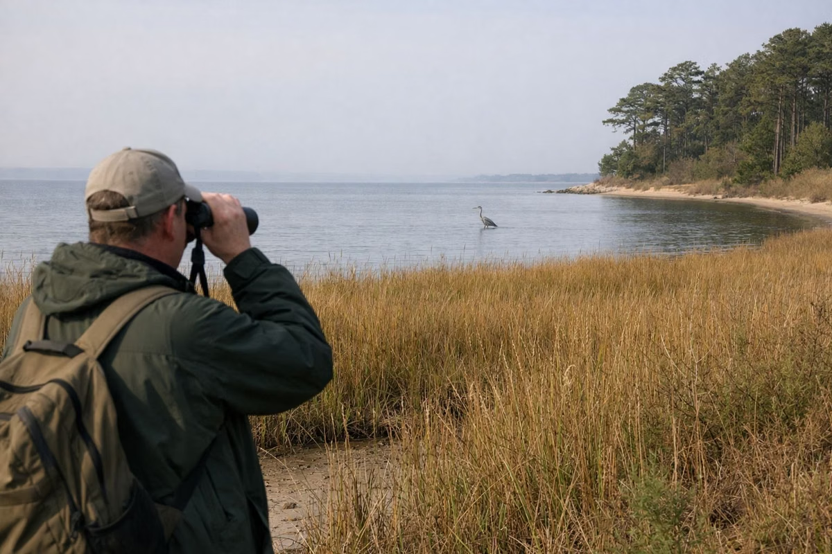
- Blue Crab Trail, about 0.7 miles, near the small craft parking lot between East and South Beach: woods and birds.
- Corcoran Woods, the 215-acre forest on the park's northwest side, has about four miles of trails of its own.
Details on each are on the hiking page. DNR's self-guided birding walk PDF includes its own route maps.
Hunting Maps
DNR also publishes maps of the Corcoran deer archery area and the two waterfowl hunting sites, which are reachable only by boat. Hunters reserve through the Myrtle Grove Wildlife Office at 301-743-5161.
Park & Trail Map FAQ
Is there a map of Sandy Point State Park?
Yes. Maryland DNR posts the official park map on its Sandy Point page under Map & Directions. It is not to scale.
How long are the trails at Sandy Point?
The Symbi Trail and Blue Crab Trail are each about 0.7 miles. Corcoran Woods, on the park's northwest side, has about four miles of trails.
Where is the boat ramp on the Sandy Point map?
Take the first paved road on the right after the contact station to the large marina lot; the ramps are at the bottom in Mezick Pond.